
The other day, we had a look at some images of Uncle Sam’s rapid, rather unsightly, growth. Today’s post features images of British imperial expansion through large char(ic)atures (yes, that was deliberate):

“The English World Kingdom, or Bloody Cartography,” from Lustige Blatter, as seen in The History of the Nineteenth Century in Caricature (1904)

“The first kiss this ten years,” Gillray, January 1803

“Virtuous indignation of John Bull at the horrors of the war for the union,” Harper’s Weekly, 26 July 1862
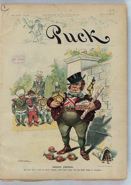
“Greedy Johnnie,” J.S. Pughe, Puck, 19 February 1896, via the United States of America’s Library of Congress
But never fear, the US and UK can also operate as imperial powers in tandem! (Coming up next.)
Updating February 2024 to include this image from How to Lie With Maps:


Pingback: Representations of US Imperial Expansion | Carto-Caricatures: Cartographic Caricatures
Pingback: Images of Canadian Expansion | Carto-Caricatures: Cartographic Caricatures